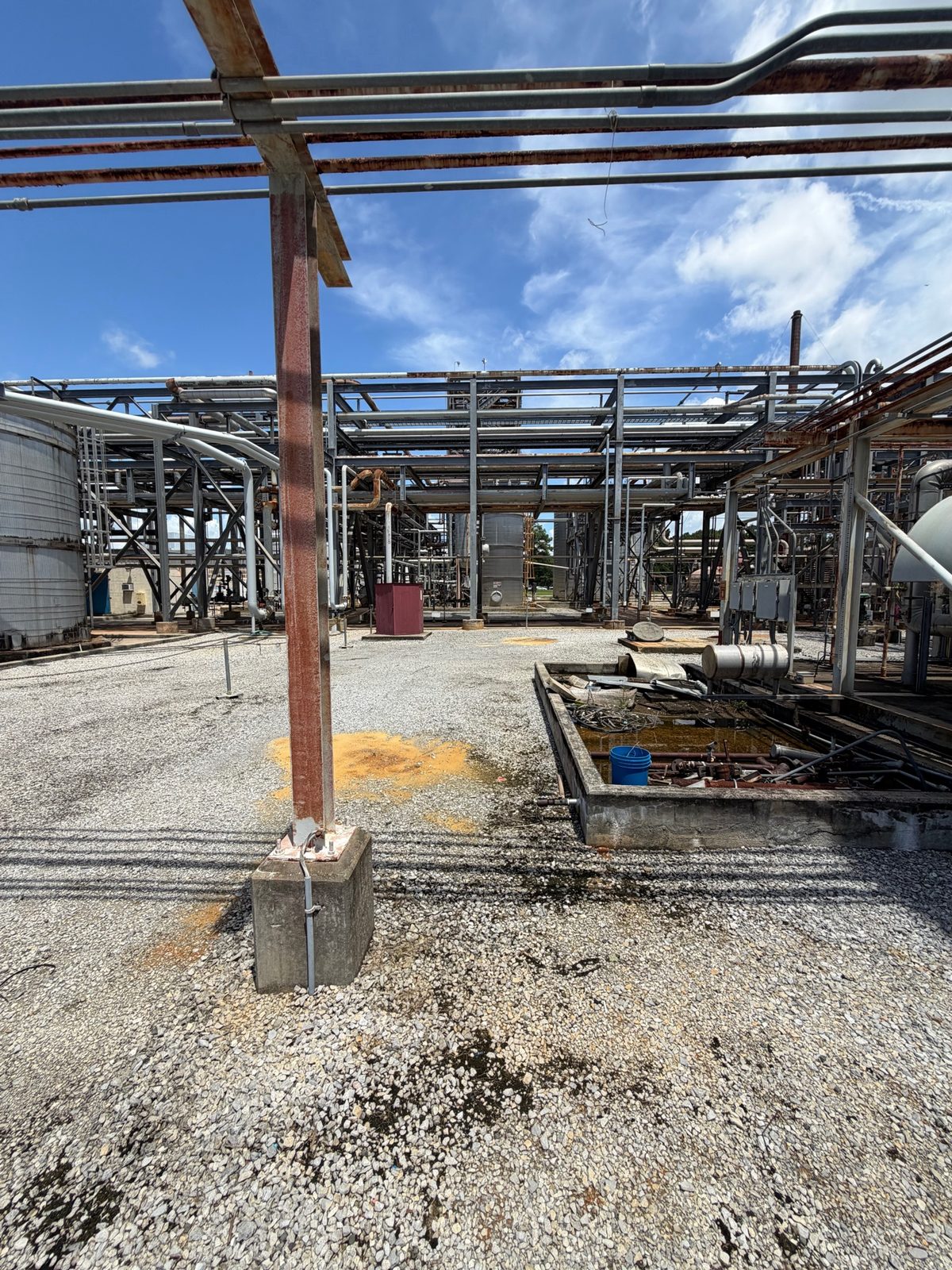
3D Laser Scanning & As-Built Modeling
Full-facility 3D laser scanning of industrial plants — millimeter-accurate point clouds, intelligent Plant3D 3D models, P&ID updates, clash detection, and as-built documentation for retrofit and capital projects.
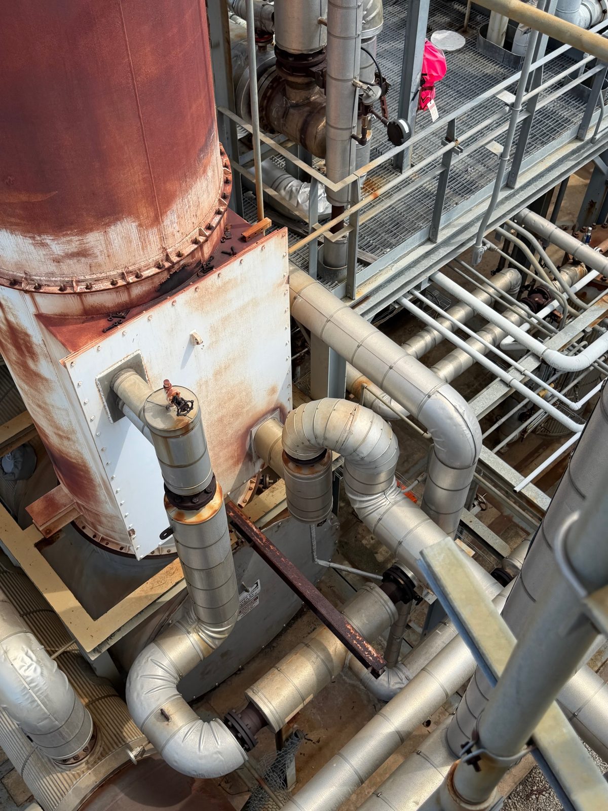
Capture Reality Before You Design
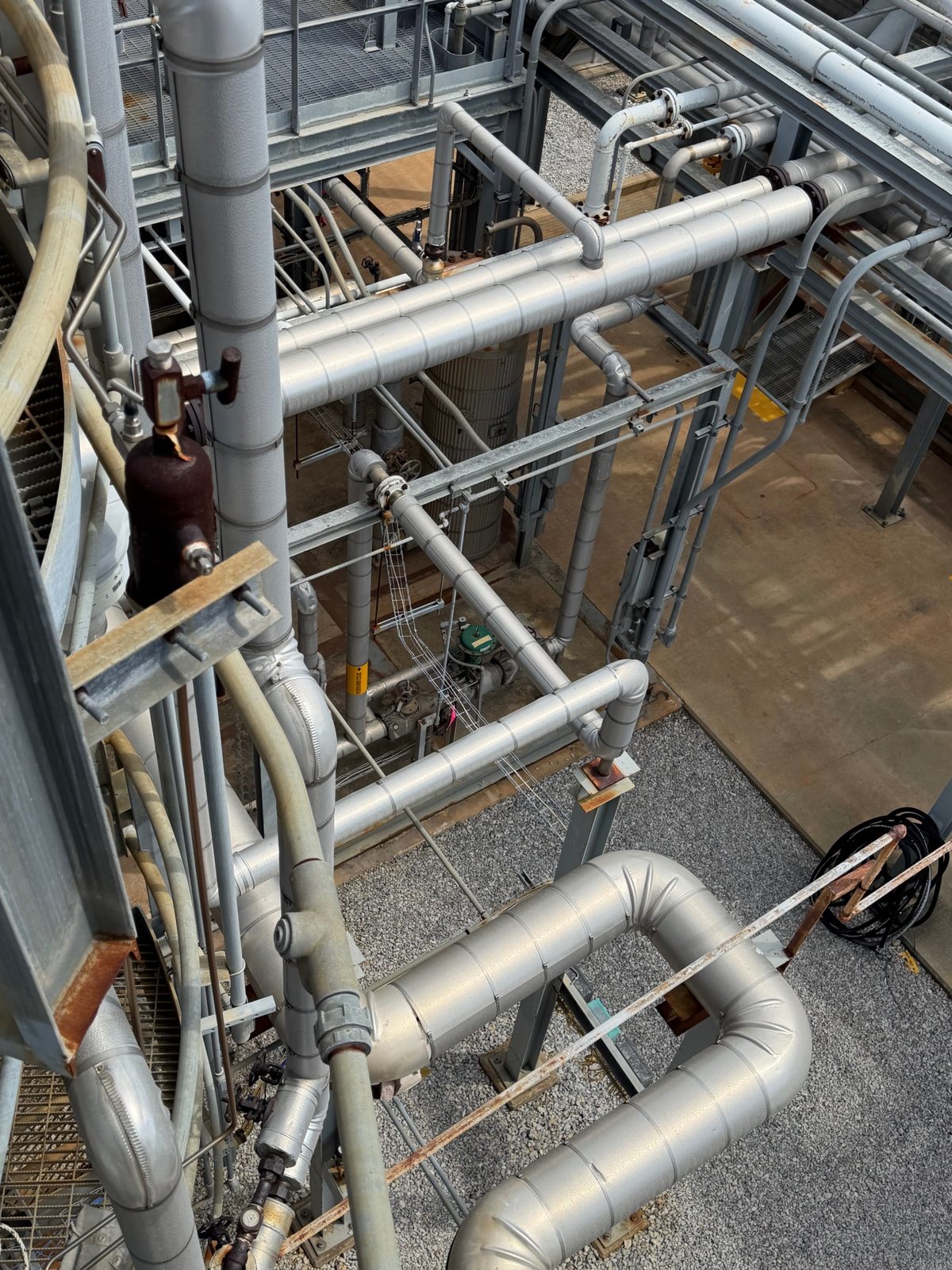
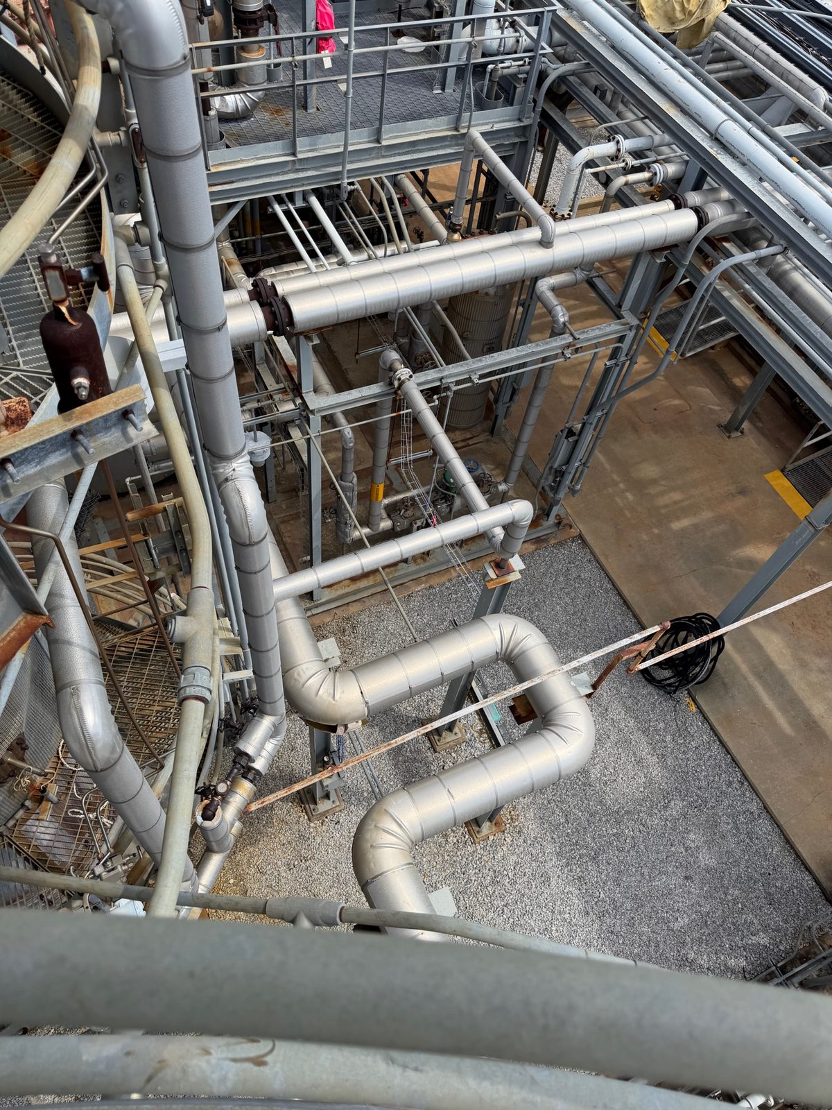
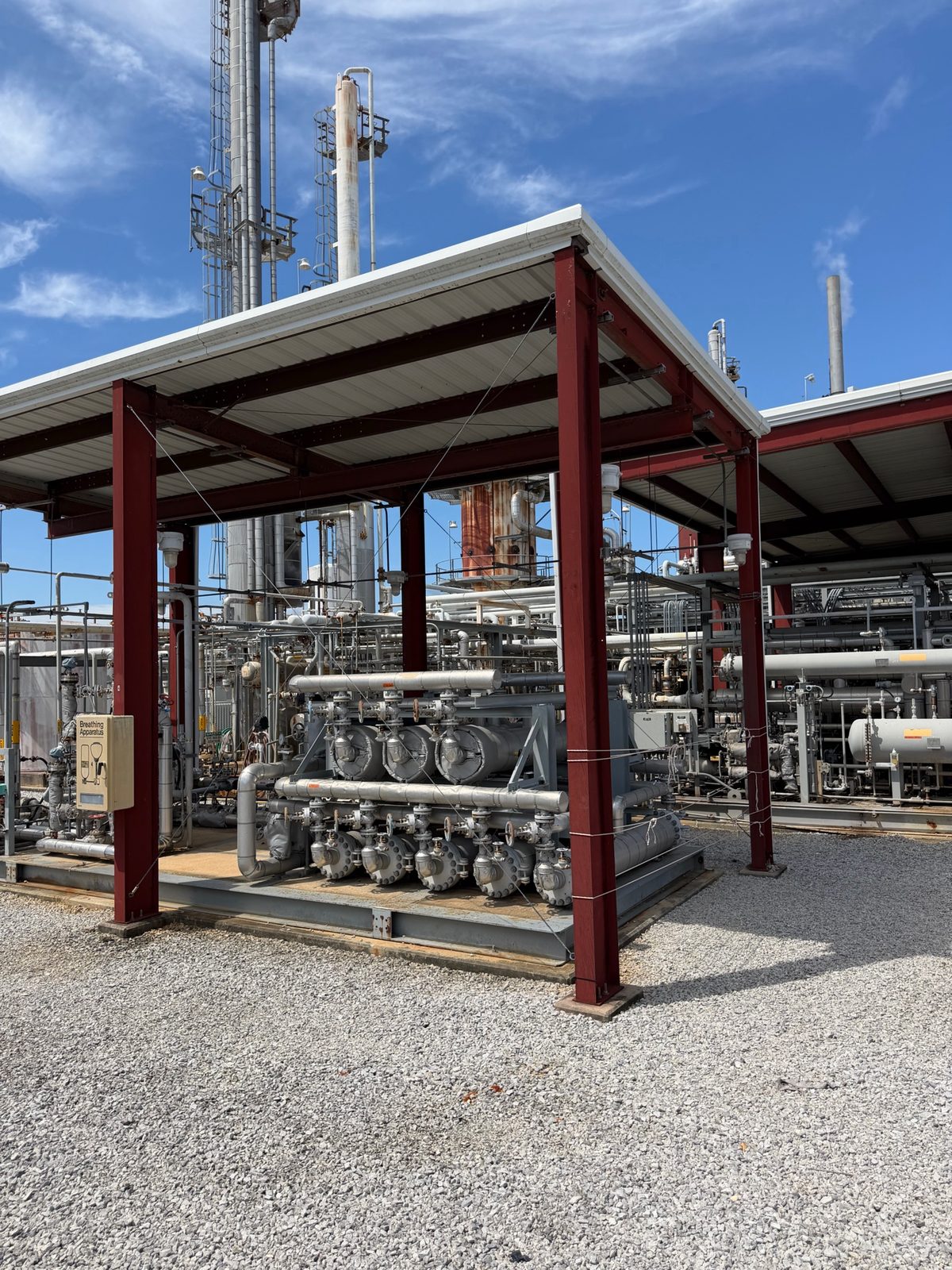
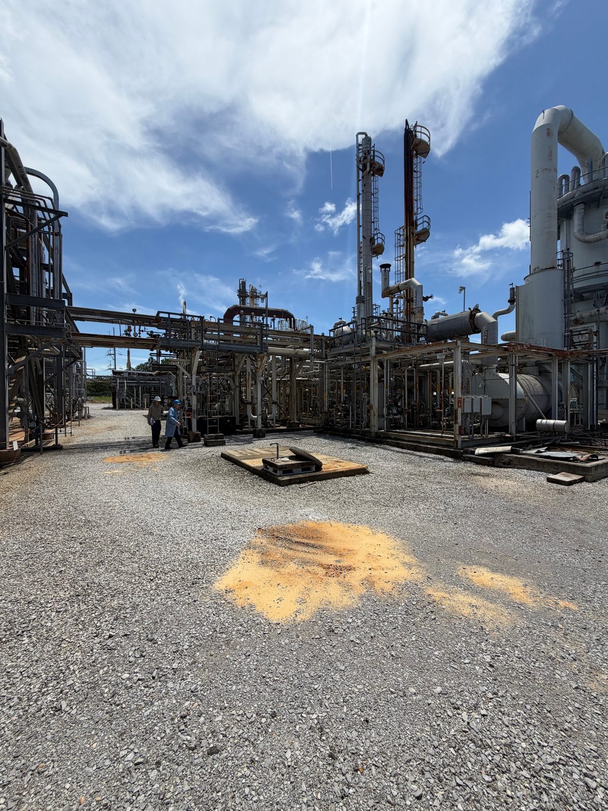
Retrofit projects fail on bad as-builts. Grey Engineering performs full-facility 3D laser scanning using high-accuracy terrestrial LiDAR scanners, capturing every pipe, vessel, structural member, instrument, and civil feature as a millimeter-accurate point cloud. That scan data becomes the foundation of every downstream engineering deliverable — eliminating the field measurement errors that cause costly rework during fabrication and construction.
From Point Cloud to Intelligent Plant3D Model
Grey Engineering builds complete intelligent 3D plant models in AutoCAD Plant3D directly from the laser scan point cloud. All existing and new piping, equipment, nozzles, structural steel, and supports are modeled to design specifications — enabling automated isometric extraction, accurate material takeoffs, and full clash detection before a single piece of steel is cut. At the McIntosh, Alabama project, we are the lead engineering firm performing the full 3D laser scan and building the complete Plant3D model as the basis for civil, structural, P&ID, and electrical I&C engineering.
P&ID Updates Coordinated with the 3D Model
P&IDs that do not match the actual plant are a liability — for operations, for maintenance, and for engineering. Grey Engineering updates existing P&IDs to reflect current as-built conditions captured in the laser scan, and develops new P&IDs for proposed modifications, with instrument index and line list updates coordinated directly with the 3D model. The result is a living document set that accurately represents what is installed and what is planned.
Clash Detection and Fabrication Integration
Because scanning feeds directly into our own design and fabrication workflow, dimensions carry through without translation loss — replacement vessels, exchangers, and piping spools fabricated from scan data fit the first time, compressing outage schedules. We use the 3D model for full clash detection between new and existing systems before issuing fabrication drawings, eliminating field interference that causes schedule overruns.
Common questions about 3D Laser Scanning
What is 3D laser scanning and how is it used in industrial plant projects?
3D laser scanning uses a terrestrial LiDAR scanner to capture millions of precise measurement points of an existing facility, creating a millimeter-accurate point cloud of the as-built conditions. In industrial plant projects, this data is used to build intelligent 3D models in Plant3D, verify nozzle orientations and elevations before fabricating replacement equipment, route new piping through congested areas without clashes, update P&IDs to reflect actual plant conditions, and document existing plant conditions for future engineering work.
What is the difference between a point cloud and a Plant3D model?
A point cloud is the raw output of a 3D laser scan — millions of XYZ coordinate measurements that together form a precise 3D representation of the existing facility. A Plant3D model is an intelligent CAD model built using the point cloud as a reference, where each pipe, fitting, valve, vessel, and structural member is a parametric object with attributes, specifications, and connections. The Plant3D model enables automated isometric extraction, material takeoffs, clash detection, and P&ID coordination — capabilities the raw point cloud alone cannot provide.
How does 3D laser scanning reduce outage time on retrofit projects?
By capturing exact as-built dimensions before fabrication begins, 3D laser scanning eliminates the field measurement errors that cause replacement vessels, exchangers, and piping spools to require costly rework during installation. Equipment fabricated from scan data fits correctly the first time, compressing the installation window and reducing outage duration — which directly reduces production losses. Clash detection in the 3D model catches interference between new and existing systems before construction begins, preventing field conflicts that delay schedules.
What deliverables come from a 3D laser scan and Plant3D modeling project?
Grey Engineering delivers registered point cloud files, an intelligent Plant3D 3D model of the facility, as-built 2D drawings and isometrics extracted from the model, updated P&IDs coordinated with the 3D model, clash detection reports, and nozzle orientation and elevation verification reports. For projects with civil, structural, and electrical scope, the 3D model serves as the coordinating reference for all disciplines.
Can Grey Engineering perform 3D laser scanning and also do the engineering?
Yes — and this is a critical advantage. Grey Engineering is a full-service engineering firm that performs 3D laser scanning, builds the Plant3D model, updates P&IDs, and delivers civil, structural, pipe stress, and electrical I&C engineering as a single integrated scope. This eliminates the translation errors and coordination gaps that occur when a separate survey firm delivers scan data to a separate engineering firm. At the McIntosh, Alabama project, Grey Engineering is performing all of these disciplines as the lead engineering firm.
Lead engineering firm — 3D laser scan, Plant3D model, P&IDs, civil/structural, and electrical I&C
Grey Engineering is currently the lead engineering firm at the McIntosh, Alabama industrial facility — performing the full 3D laser scan, building the complete Plant3D 3D model, updating P&IDs, and delivering civil, structural, and electrical I&C engineering as a single integrated scope.
View Project